The Mesolithic Era
Three different environments can be seen in Lancashire during this period – the uplands of the central Pennines (to which there has been a traditional bias), the lowlands around coastal and estuarine areas, and the inland lowlands (especially moss-edge and river valley sites).
Much of the evidence from this period comes in the form of stuck flint, although there is evidence of the use of fire and aforestation, as well as pollen samples showing that cereals may have been grown.
The hunter-gathering economy of the Palaeolithic continued into the Mesolithic (Middle Stone Age), but, over time, the technologies used became gradually more sophisticated and, presumably, more efficient. The Early Mesolithic (before 6000 BC) is represented in the archaeological record by a ‘broad blade’ style of microlith, a style succeeded by a more ‘geometric’ style after 6000 BC.
Microliths were probably armatures and arrowheads used for hunting, as the population was likely to be too sparse in this area for warfare to be waged over the resources.
Just after c. 4000 BC, cereals begin to appear in the pollen record in areas associated with forest clearing, showing that the population had started on the long road to agriculture some centuries before the start of the Neolithic period.
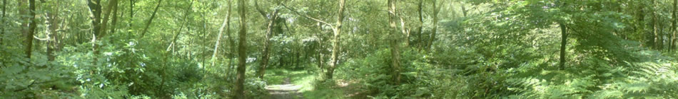
In the central Pennine uplands, the greatest concentration of areas of scattered flint is to be found between SADDLEWORTH and MARSDEN, a region where the Pennines are at their narrowest.
The signs of habitation are usually between the 366m and 488m contours. The struck flints, discovered under thin layers of peat, are found either in small areas or scattered about the landscape, and usually range in number from a few to a few thousand pieces.
The concentration of upland sites of the period discovered thus far is much greater in Yorkshire, east of the Pennines, than here in Lancashire, and in Yorkshire especially, struck flint deposits of the Mesolithic period have been found arranged in circles between c. 15m and 20m wide, often with evidence of burning or even actual hearths.
This may indicate a tribal dwelling place, or perhaps implies that a shamanic religion of sorts was beginning to emerge and develop within the Mesolithic community. There has also been discovered evidence of small stake holes and stone arranged in circles, or possibly even paved areas.
Most of the lowland evidence began to emerge in the early 1980s, with fieldwork done by the North West Wetland Survey, a LUAU-managed project, and by the National Museums and Galleries on Merseyside. Most of the lowland evidence is from coastal and estuarine areas, especially near the mouth of the River Alt at LITTLE CROSBY and on the adjacent coast of the Wirral, formerly in Cheshire.
Evidence from the coast is less prevalent the further north one goes, although there are important sites at HEYSHAM HEAD and PEEL(near Lytham) north of the Ribble
.
Lowland evidence generally becomes sparser the further inland one travels, in both the north and the south of the County Palatine. Soil samples suggest concentrations, particularly in moorland and moss, as at MAWDESLEY and CHAT MOSS, or in river valleys such as the site at MARLE’S WOOD near Ribchester.
The forests in the uplands seem to have been affected by fire during this epoch, implying that the habitats and resources of the animal kingdom were beginning to feel man’s manipulation. At inland lowland sites, small periods of afforestation between dence regeneration have been detected, suggesting manipulation of the flora.
There is also evidence of burning in Mesolithic peat levels, indicating a subsistence economy. On the coast, episodes of deforestation appear more common at certain sites.
The vegetation was much less dense here, thus making the process a lot easier.
It is in these areas that the propagation of cereal crops appears, long before an environment appears which could be associated with the next phase.